-40%
1898 ANTIQUE PRINT FLAGS OF ALL NATIONS NORWAY EGYPT BLUE ENSIGN JAPAN MEXICO
$ 42.41
- Description
- Size Guide
Description
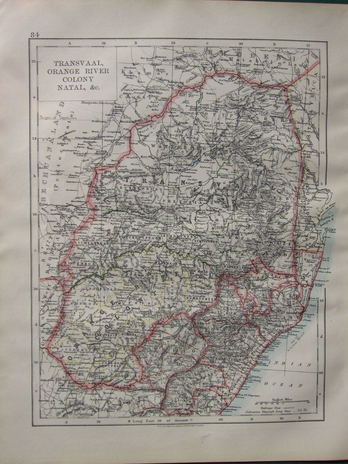
This antique map is one of a series produced for:BACON'S POPULAR ATLAS of the WORLD 1898
Map produced & printed by:
Bacon's Geographical Establishment
To find the approximate size of this print
please check against the 1 inch scale shown
****CONDITION****
PLEASE VIEW IMAGES TO SEE ANY HANDLING/AGE MARKS
/REPAIRS/DAMAGE/EXTENT OF MARGINS etc
*********************
Please message with any questions regarding this item
This antique map is one of a series produced for: BACON'S POPULAR ATLAS of the WORLD 1898 Map produced & printed by: Bacon's Geographical Establishment To find the approximate size of this print please check against the 1 inch scale shown ****CONDITION**** PLEASE VIEW IMAGES TO SEE ANY HANDLING/AGE MARKS /REPAIRS/DAMAGE/EXTENT OF MARGINS etc ********************* Please message with any questions regarding this item
This antique map is one of a series produced for: BACON'S POPULAR ATLAS of the WORLD 1898 Map produced & printed by: Bacon's Geographical Establishment To find the approximate size of this print please check against the 1 inch scale shown ****CONDITION**** PLEASE VIEW IMAGES TO SEE ANY HANDLING/AGE MARKS /REPAIRS/DAMAGE/EXTENT OF MARGINS etc ********************* Please message with any questions regarding this item
This antique map is one of a series produced for: BACON'S POPULAR ATLAS of the WORLD 1898 Map produced & printed by: Bacon's Geographical Establishment To find the approximate size of this print please check against the 1 inch scale shown ****CONDITION**** PLEASE VIEW IMAGES TO SEE ANY HANDLING/AGE MARKS /REPAIRS/DAMAGE/EXTENT OF MARGINS etc ********************* Please message with any questions regarding this item
This antique map is one of a series produced for: BACON'S POPULAR ATLAS of the WORLD 1898 Map produced & printed by: Bacon's Geographical Establishment To find the approximate size of this print please check against the 1 inch scale shown ****CONDITION**** PLEASE VIEW IMAGES TO SEE ANY HANDLING/AGE MARKS /REPAIRS/DAMAGE/EXTENT OF MARGINS etc ********************* Please message with any questions regarding this item
This antique map is one of a series produced for: BACON'S POPULAR ATLAS of the WORLD 1898 Map produced & printed by: Bacon's Geographical Establishment To find the approximate size of this print please check against the 1 inch scale shown ****CONDITION**** PLEASE VIEW IMAGES TO SEE ANY HANDLING/AGE MARKS /REPAIRS/DAMAGE/EXTENT OF MARGINS etc ********************* Please message with any questions regarding this item
This antique map is one of a series produced for: BACON'S POPULAR ATLAS of the WORLD 1898 Map produced & printed by: Bacon's Geographical Establishment To find the approximate size of this print please check against the 1 inch scale shown ****CONDITION**** PLEASE VIEW IMAGES TO SEE ANY HANDLING/AGE MARKS /REPAIRS/DAMAGE/EXTENT OF MARGINS etc ********************* Please message with any questions regarding this item


